Geospatial Solutions in Ports
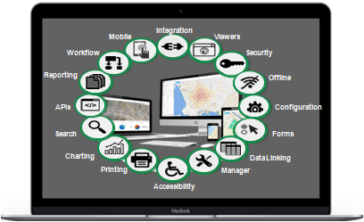
The Port Solution is a framework of industry standard software and specialized add-ons created for seaports, together with procedures, reports, data models and training materials. Consisting of a core solution and optional tools, extensions and system integrations, the NSG Port Solution is the only Comprehensive geospatial port solution available today. With the NSG Port Solution, ports can:
Unify and interact with all port maps, drawings, aerial photos, as built and linked information on a common base map. Analyze data across the organization to make the best decisions. Access data from anywhere and any time